Bluedot: Uncovering Wayfinding
Uncovering hidden information and legends within Google Maps' features and zoom levels using D3.js data visualization.
This project is based on the research "Blind Maps and Blue Dots" by Studio Joost Grootens and draws inspiration from the "Power of Ten" concept, which emphasizes the significance of observing various aspects of the world at different scales. By employing data visualization techniques and D3.js, the project uncovers hidden information and legends within Google Maps' features and zoom levels.
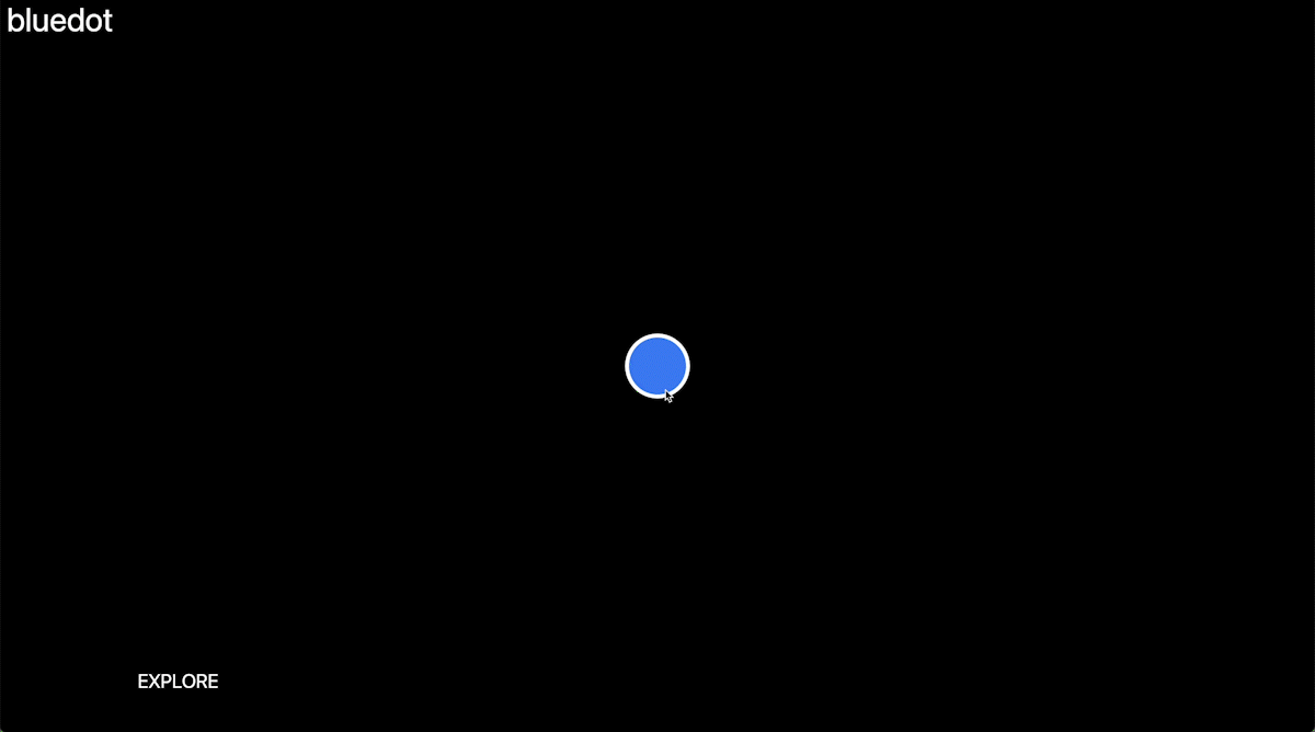
Acting as a dynamic representation of the world, the map can be zoomed in or out to generate diverse maps based on a database of features. In this context, the blue dot, positioned in Chicago at the precise latitude and longitude where the "Power of Ten" was recorded, serves as a symbol of localization and scale, as well as an instrument for analyzing and visualizing the map's datasets.
Google Maps offers nineteen zoom levels, numbered 00 to 18, each presenting distinct cartographic information. However, Google does not supply a legend for the map. The legend featured on this page is derived from empirical research and highlights the different color values at each zoom level.
The project's objective is to shed light on how mapping applications shape our perception of space and place through graphic design, color codes, and symbols, while also illustrating the influence of scale on our comprehension of the world around us.