Mapping Milan's Mobility Patterns
Analyzing anonymized Call Data Records to understand population mobility patterns and inform humanitarian response planning.
Every year, millions of people are displaced due to natural disasters, armed conflict or other humanitarian crises. Every two weeks on average, a disaster displaces more than 100,000 people. When these disasters occur, decision makers need to rapidly locate populations and anticipate movements in order to provide targeted humanitarian relief — often when basic information on affected populations is unavailable.
Understanding where people are, where they are going, and the routes they take to get there is crucial to planning and implementing appropriate interventions.
The value of mobility data extends beyond crisis response. Knowing the regular movements of people — how many are moving and at what frequency — can inform a country's planning of new investments or resources. Understanding routine mobility, linked to seasons or lifestyles, can help determine the best time and place to reach specific communities.
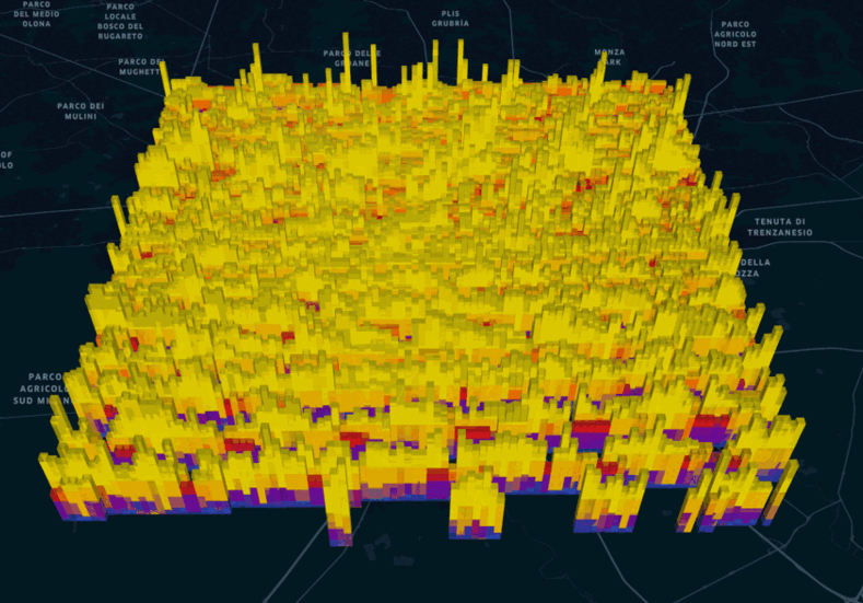
Data from Mobile Network Operators (MNOs) can be analysed in near real-time to provide an overview of mobility patterns at local, regional, or national scales. Call Detail Records (CDRs) are the most commonly analysed data source for humanitarian and development purposes. Using anonymised and aggregated CDR data, governments and decision makers can be provided with timely mobility analyses applicable to disaster management, public health, urban planning, service coverage assessment, and migration response.